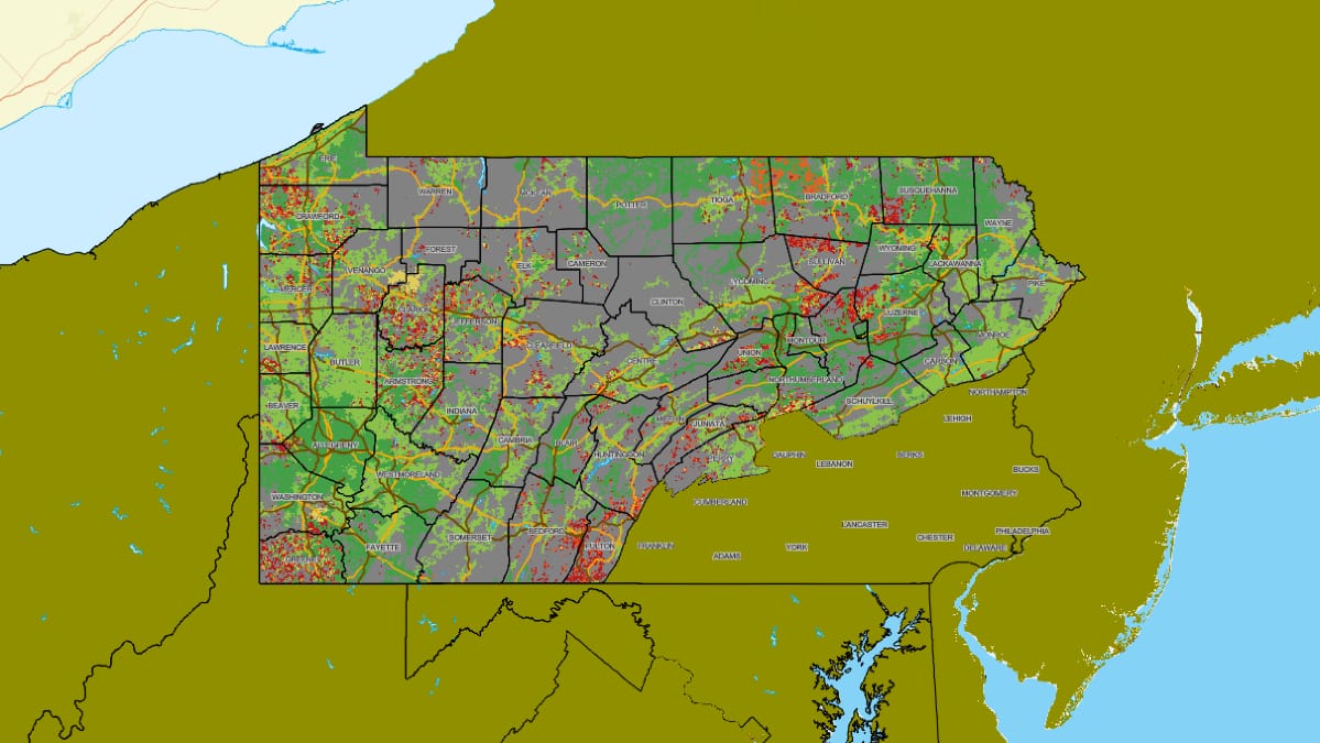
WASHINGTON, May 9, 2024—Connect Humanity has published open versions of communities participating in the Appalachia Digital Accelerator.
The Appalachia Digital Accelerator is an effort to accelerate internet access and support for 50 of Appalachia’s least-connected communities in the region. The initiative aims to help the region plan for advanced broadband networks.
The maps are available for regions within the states of Kentucky, Georgia, Maryland, Michigan, New York, North Carolina, Ohio, Pennsylvania, South Carolina, Tennessee, West Virginia, and Virginia.
The map’s default settings will display borders and FCC data layers.
The “layers” will consist of: Boundaries, Verticle Structures, Transportation, Broadband grant awards, Speed test ratings, FCC Broadband Coverage Maps, and Demographic and Economic Data.
- Boundaries: “A collection of layers to show various political and economic areas, such as county lines, census boundaries, electric utility territories, wilderness areas, national parks, and national forests”
- Vehicle structures: “Antenna structures, including cellular towers, based on the FCC’s Antenna Registration System and Homeland Infrastructure Foundation-Level Data. “
- Transportation: “Road and rail networks.”
- Broadband Grant Awards: “Locations of federal / state broadband grant awards.”
- Speed test ratings: “Identifies the average up/down speed rating for locations with at least one consumer-initiated Ookla speed test result.”
- FCC Broadband Coverage Maps: shows coverage claims to FCC for wired and fixed wireless broadband.
- Demographic and Economic Data: Survey data that compares internet access to poverty levels.
